Go back to the Ashcreek Neighborhood main page
In Southwest Portland Oregon the Ashcreek and Crestwood Neighborhoods have 18 short paths on public street right-of-ways to be enjoyed by neighbors and visitors. These little paths connect to walkable streets and parks to make a trail system with many possible loops and variations. We have spent about 10 years improving our paths and trails to make them more walkable, runnable, bikeable, and safer for all users. However it is not perfect out there so always watch your step, and look out for traffic.
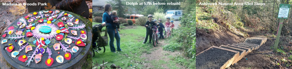
These local paths and trails also connect to our neighborhood parks, natural areas, and ball fields including: Woods Memorial Natural Area, Dickinson Park Natural Area, Ashcreek Natural Area, Moonshadow Park, and Smith School fields. Using the trail map provided below you can design a walk that fits your abilities and mood from a half mile saunter to a full-on 9 mile hike. Enjoy the trails! At the bottom of each map shown here is a download link where you can save the PDF file to your personal device.
SW Walking Map for all of SW Portland May-2017 This map below can also be downloaded and used to navigate trails, sidewalks, and the SW Trails numbered trail system throughout all of SW Portland. SW Trail #5 and SW Trail #7 are in our neighborhoods. The map below will download as a PDF file and should be usable on all devices.
Ashcreek Trails need your help. It takes time and money to improve the trails in our neighborhood. Please consider making a donation to the Ashcreek Neighborhood (Link on the Main Page) to give us a hand. And speaking of a hand we also need help every year all year round in maintaining our trail and path system. Do it yourself, just take a clippers and cut back those blackberries and pull the weeds that grow on the steps and edges of trails. If it looks like it needs a work party you can contact the Ashcreek Trails Coordinator Dave Manville and get some help. Oh speaking of HELP we need volunteers for our list of folks we can contact about doing the larger trail projects from time to time. Please send an email if you would like to volunteer.
SW Trails.org is a community service organization that has worked tirelessly over the last 20 years to improve Pedestrian and Bike facilities in SW Portland. They advocate for new and improved trails, sidewalks, street crossing, and roadsides. SW Trails also has an extensive list of Self-Led Hikes and Leads Hikes and Walks somewhere in SW Portland every 2nd and 3rd Saturday of each month. Check out SWTrails.org